
Interactive Maps
Project location and nearby destinations
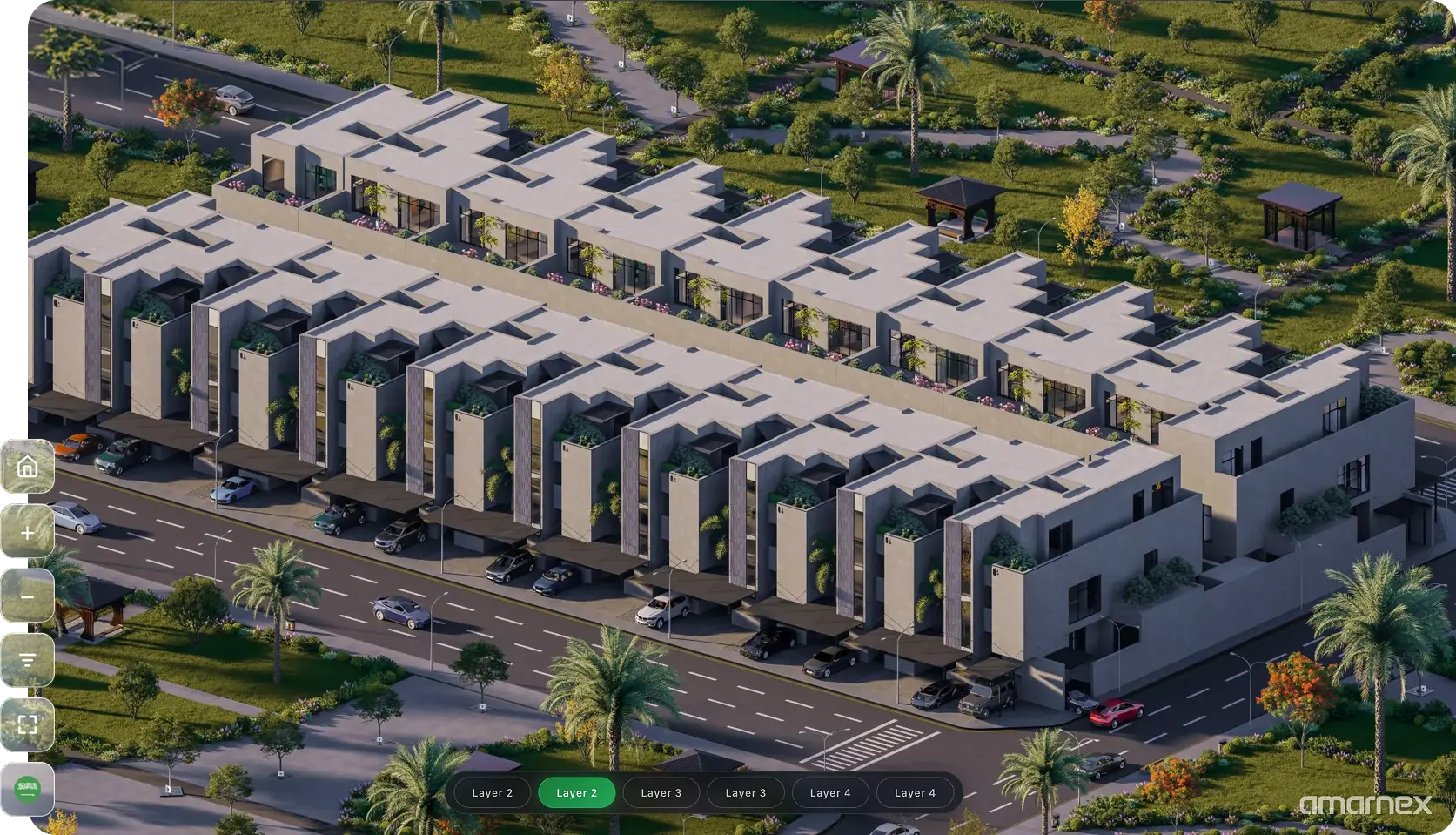
Help customers understand project location, nearby destinations, master plans, buildings, and available units through visual discovery.
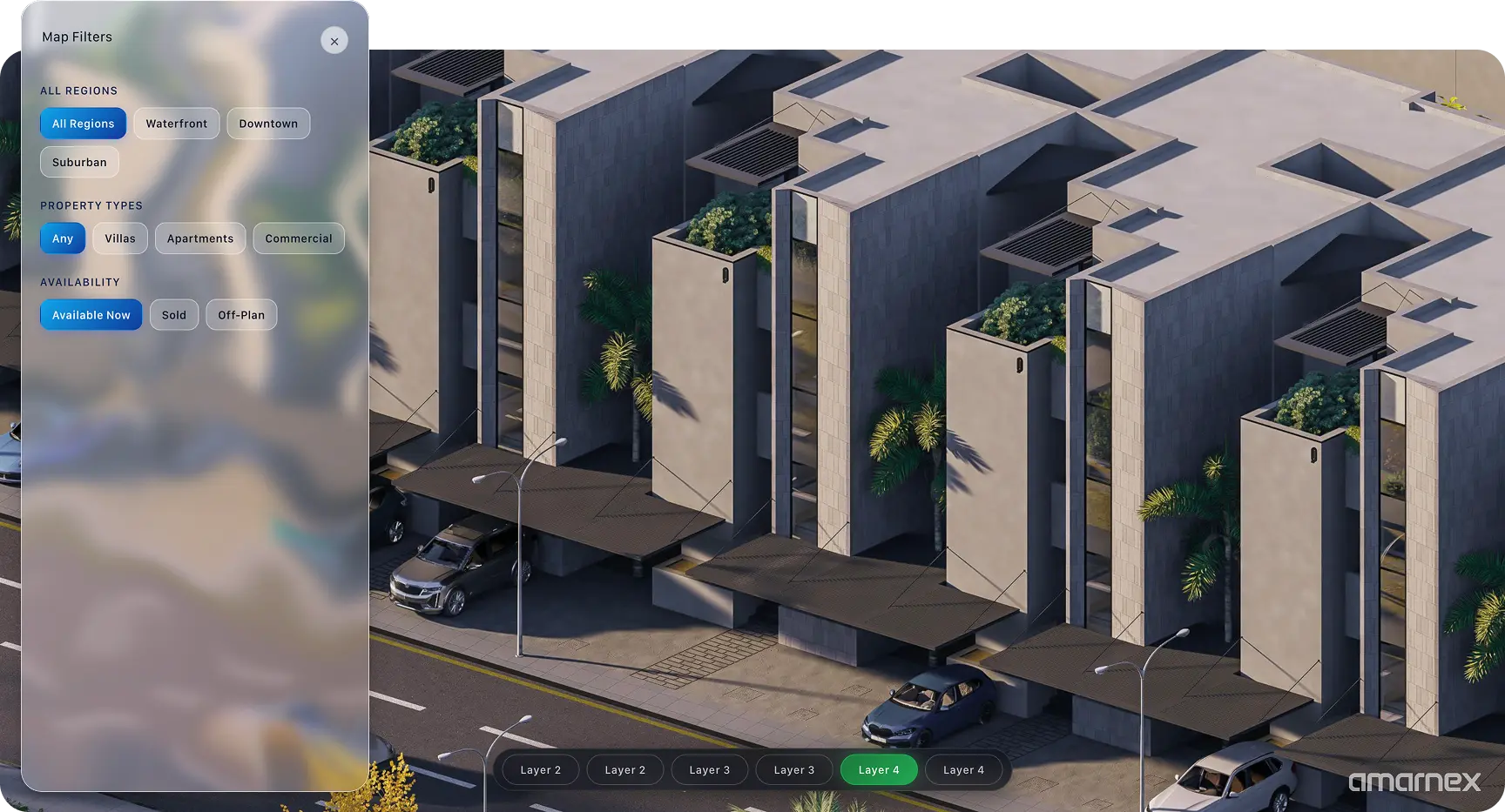
This module brings people, data, and actions into one operating space so the team knows what is happening, what must happen next, and who owns it.
Create one connected view instead of fragmented spreadsheets, inboxes, and individual follow-up.
Give every authorized team member the right context, owner, priority, and next step.
Use workflow data to identify delays, improve conversion, and protect the customer experience.
Connect the capability with relevant Amarnex modules, channels, reports, and shared pipelines.
Real estate developers, brokers, sales teams, marketing teams, collection teams, customer care, operations, management, and approved partners can configure this capability around their responsibilities.
Specific workflows, integrations, automations, regulatory steps, and channel availability depend on the subscribed scope, tenant configuration, approved providers, local requirements, and technical validation.
Read MoreSpecific workflows, integrations, automations, regulatory steps, and channel availability depend on the subscribed scope, tenant configuration, approved providers, local requirements, and technical validation.

Interactive Maps
Project location and nearby destinations
Master plans
Buildings and available units
Visual discovery
Help customers understand the project visually